The application of geographic information system for dengue epidemic in Southeast Asia: A review on trends and opportunity
Journal of Public Health Research , Vol. 11 (3) · 2022
Summary
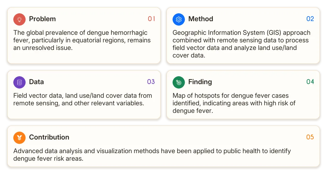
The map of hotspots for dengue fever cases has been used to identify risk areas, demonstrating the effectiveness of advanced data application in public health.
Details
Abstract
The infectious disease dengue hemorrhagic fever remains an unresolved global problem, with climatic conditions and the location of areas located at the equator more often infected with dengue fever. Various modeling approaches have been employed for the development of a dengue risk map. The geographic information system approach was used as an instrument in applying mathematical algorithms to process field vector data into a preventive objective which is studied, then the application of remote sensing provides spatial-temporal data related to land use/land cover data sources as other variable categories. Map of hotspots for dengue fever cases is used to identify the risk of dengue fever areas by applying various complex methodologies, analysis, and visualization of advanced data are needed for its application in public health. In the last 10 years, the increase in the publication of dengue hemorrhagic fever in Southeast Asia in reputable international journals has increased significantly. © The Author(s) 2022.
Affiliations
Program Doctoral of Geography Education, Faculty of Social Science, State University of Malang, East Java, Malang, Indonesia; Department of Geography Education, Faculty of Social Science, State University of Malang, East Java, Malang, Indonesia; Department of Geography, Faculty of Social Science, State University of Padang, West Sumatera, Padang, Indonesia